Authors: Gaurav Duggal, R. Michael Buehrer, Harpreet S. Dhillon, Jeffrey H. Reed
Published on: May 09, 2024
Impact Score: 7.6
Arxiv code: Arxiv:2405.05801
Summary
- What is new: Utilization of a UAV-based wireless network and a novel NLOS path length model based on the Geometrical Theory of Diffraction (GTD) to improve indoor positioning accuracy in emergency situations.
- Why this is important: Enhancing 3D and Z-axis positioning accuracy in indoor emergencies and reducing reliance on fixed infrastructure that is vulnerable during emergencies.
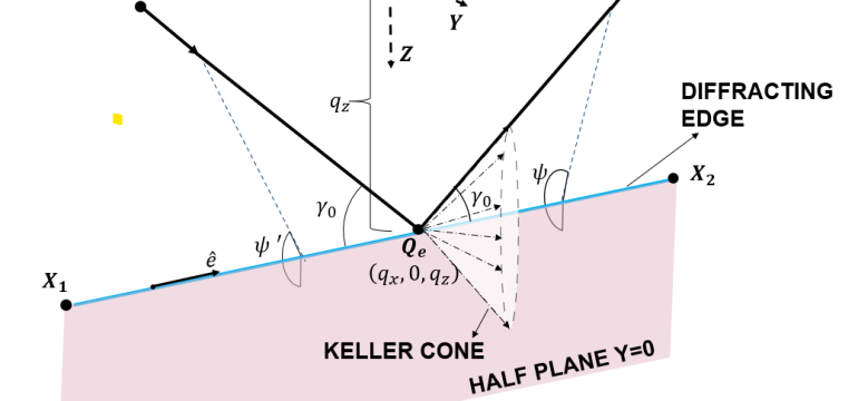
- What the research proposes: A UAV-based wireless network that leverages GTD to develop a new NLOS path length model, enhancing indoor positioning performance for emergency responders and at-risk individuals.
- Results: The proposed UAV-based system and path length model significantly improve indoor positioning accuracy in emergency scenarios.
Technical Details
Technological frameworks used: Geometrical Theory of Diffraction (GTD)
Models used: Novel NLOS path length model
Data used: Signal propagation data from UAV-based surveys
Potential Impact
Public safety and emergency response markets, manufacturers of emergency response equipment, indoor navigation technology companies
Want to implement this idea in a business?
We have generated a startup concept here: ResQNet.


Leave a Reply