Authors: Hasan Nasrallah, Abed Ellatif Samhat, Cristiano Nattero, Ali J. Ghandour
Published on: May 06, 2024
Impact Score: 7.8
Arxiv code: Arxiv:2404.06202
Summary
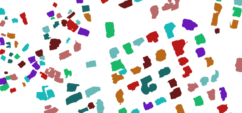
- What is new: Use of fully convolutional neural networks for multi-class buildings’ instance segmentation from high-resolution satellite images to create national urban maps.
- Why this is important: Lack of proper governance in developing countries to generate and update national rooftop maps affordably and efficiently.
- What the research proposes: An automated pipeline using earth observation and deep learning for producing building maps.
- Results: Successfully created the first comprehensive national building footprint map of Lebanon with approximately 1 million units and 84% accuracy.
Technical Details
Technological frameworks used: Fully convolutional neural networks
Models used: nan
Data used: Sub-meter high-resolution satellite images
Potential Impact
Real estate, urban planning, disaster management, and governance in developing countries.
Want to implement this idea in a business?
We have generated a startup concept here: GeoScan AI.


Leave a Reply